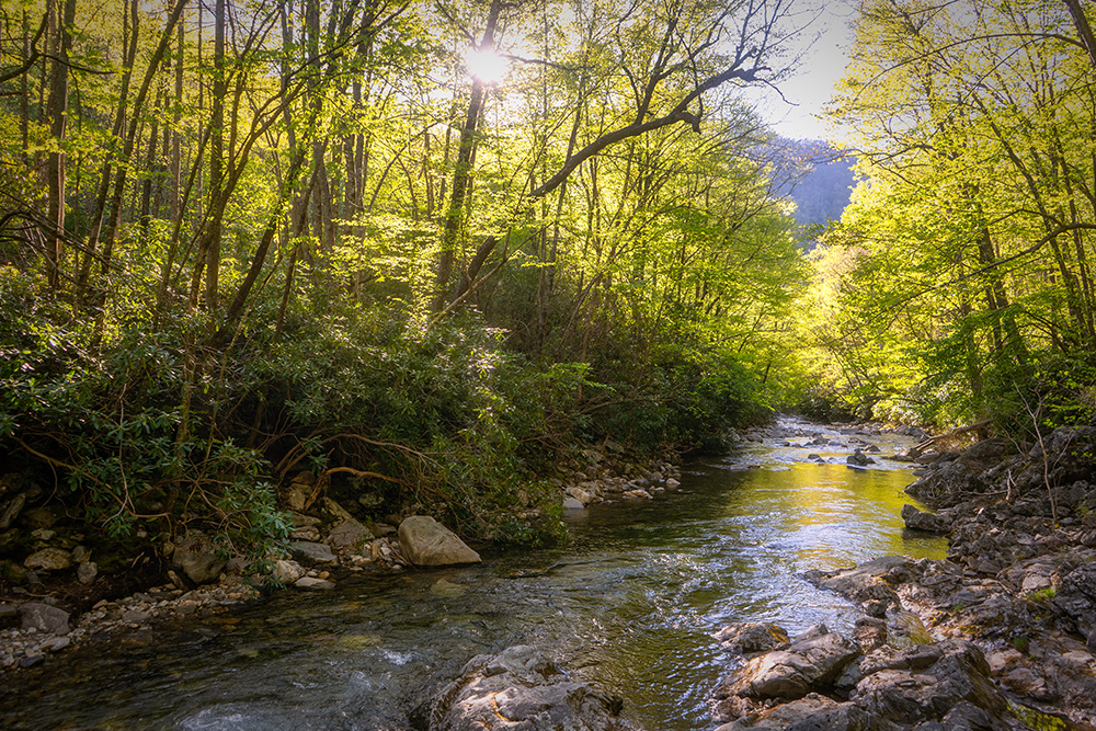
Big East Fork Trail Hike
Photography Rating:

- Macro shots
- Long exposure water cascades
- Wildlife

Big East Fork Trail is one of our favorites. The trail follows alongside the river almost the entire length of the trail. This river is one of the most beautiful bodies of flowing water found near Asheville. The water is suspiciously clear (and cold, we might add). Given that there is no major feature on this hike, the traffic is generally pretty light. The most common types of people frequenting Big East Fork are fly fishermen and backpackers. From the beginning of the trail on Hwy 276 all the way to its end 3.5 miles later, there are at least a dozen campsites that spur from this trail. It’s a very popular camping destination. If you plan to camp here during the warm season on a weekend, you’ll want to arrive early.
Our coverage of this trail doesn’t span the full distance of Big East Fork Trail, just to where Big East Fork meets the drainage of Shining Creek. Found at this intersection is probably the best campsite on the whole trail, in part due to the campsite having its own, glorious swimming hole! This spot is also a popular destination for the local fishermen that know about it.
If you have a full day to explore this trail, we recommend taking it to the intersection of Bridges Camp Gap Trail & Greasy Cove Trail, which is 7 miles roundtrip. The further you go, the more dramatic the river becomes and the further away from people you’ll get. It’s a beautiful hike, every bit of it.
Trail tips:
While there aren’t any legitimate trail intersections until the 3.5-mile mark, there are several spur trails that essentially don’t lead anywhere except for a campsite or river access. For the first mile-and-a-half, just stay to the left at all intersections and you will remain on Big East Fork Trail. There are no sizeable creek or river crossings. There are (at least) two swimming holes on the portion of the hike we’re covering. The first swimming hole can be found approximately one mile in, right after the trail splits up off to the left, you’ll want to go down to the right to the river to find the swimming hole. The second swimming hole can be found at approximately 2.3 miles in (the turn around point for this hike) by walking through a campsite to find access to the swimming hole.
Loop option:
Not to be attempted in one day unless you’re an extreme athlete, you can connect Big East Fork Trail to Greasy Cove Trail to Art Loeb Trail to Shining Creek trail, which will eventually put you out very close to where you originally parked. This tough hike is approximately 11.5 miles in total with lots of elevation change. This is a GREAT option for backpacking and is quite challenging. Most trail intersections are not marked, there are no blazes, so you most certainly want to bring a map and compass. But you’ll love every second of your self-torture with the scenes found on this loop.
Leave No Trace
We believe in Leave No Trace principles. Leave nature exactly as you found it. Better yet, if you see someone else’s trash or mess, pick it up!
Driving Directions:
Seasons:
This trail can be accessed at all times of the year and is best visited during mid-Summer in our opinion.

